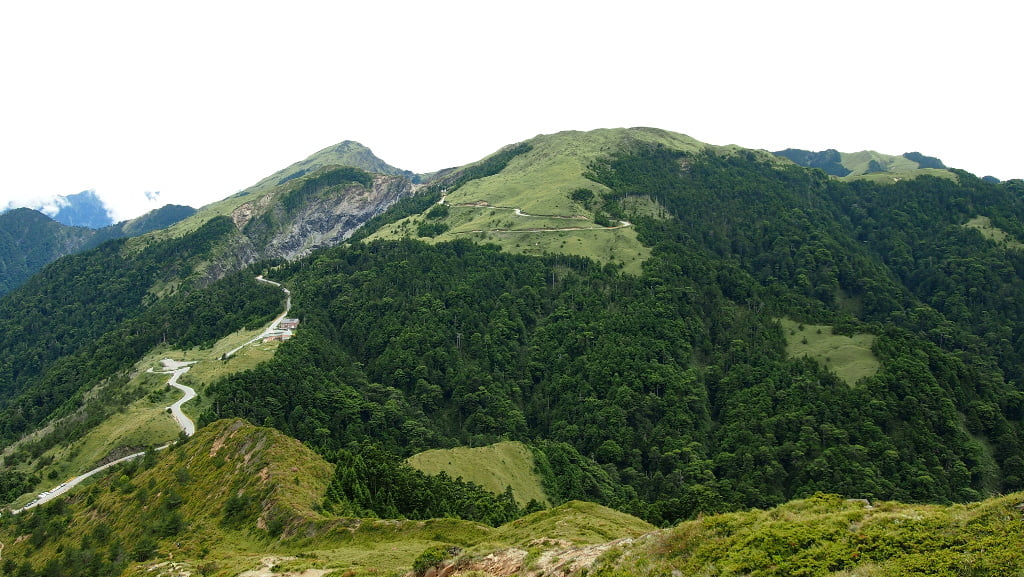
Jiaming Lake, also known as Chiaming Lake, sits at an impressive elevation of 3,310 m above sea level and is the second-highest mountain lake in Taiwan. Often referred to by locals as the “angel’s teardrop”, this gem of nature is nestled in Taitung County, near the southern border of Yushan National Park (玉山國家公園).
I set out on this unforgettable hike in August 2013. Spanning three days, it remains the longest high-mountain trek I’ve undertaken in Taiwan. It took two days to reach the lake, with another day for the return journey.
Beyond its scenic allure, Jiaming Lake holds a fascinating geological story. Though modest in size—just 120 meters long, 80 meters wide, and up to 6 meters deep—it has sparked significant scientific curiosity. In the past, it was believed the lake formed due to a meteorite impact. However, this theory was disproven, and the lake was identified as a glacial cirque. As a geologist, I found this conclusion unsurprising; the entire area bears unmistakable signs of glacial activity. Even today, you can spot the former outflow of the glacier, a striking remnant of the lake’s icy origins.
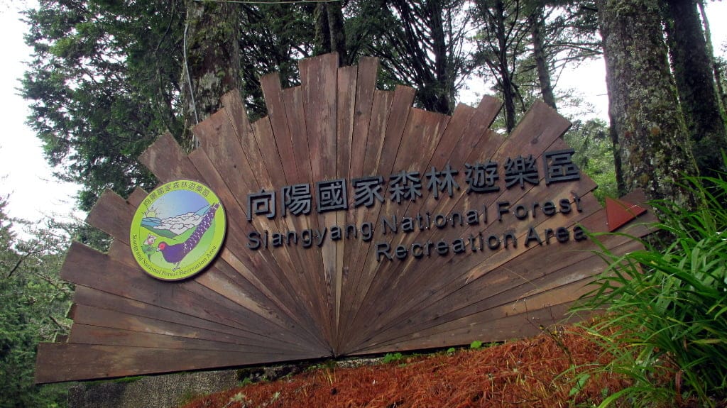
Our group began the hike in Chishang (池上) in the Central Rift Valley, driving early in the morning to the Xiangyang National Forest Recreation Area Visitor Service Center (向陽國家森林遊樂區遊客服務中心) at approximately 2,320 m above sea level. The trailhead was within the park, and we had to complete registration at the local police station before starting. At that time, hiking to Jiaming Lake required an experienced guide. Additionally, permits for the mountain cabins had to be secured well in advance, as they were in high demand with lengthy waiting lists.
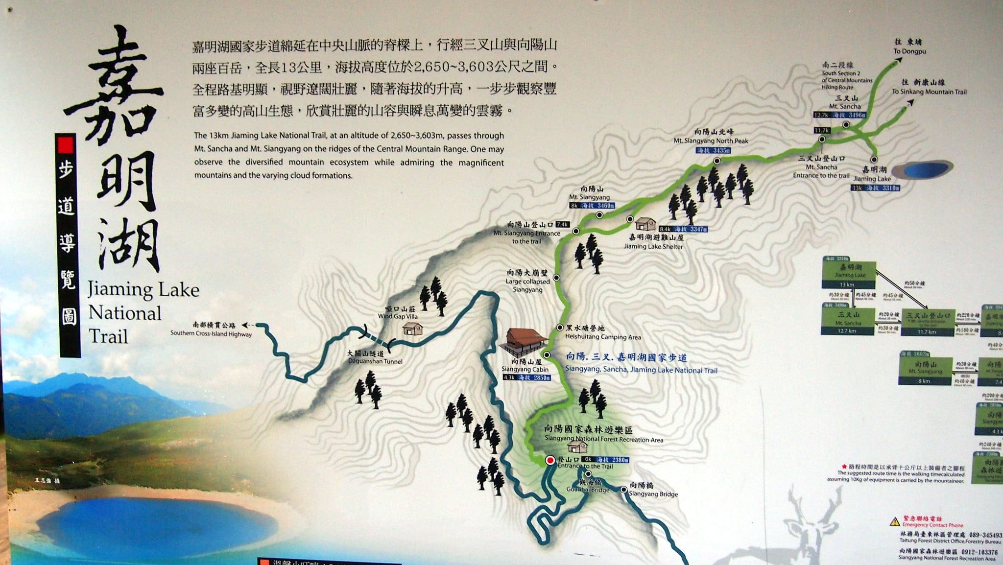
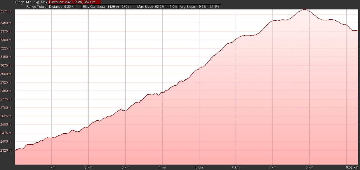
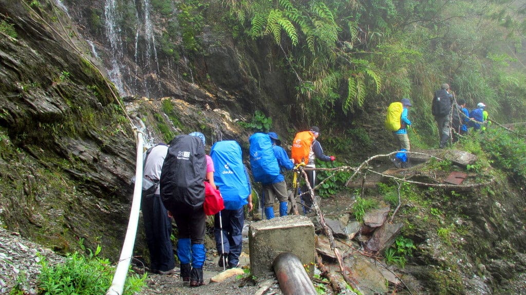
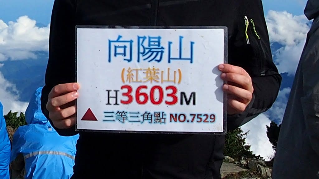
On the first day, our goal was to reach the Jiaming Lake Shelter at 3,347 m. Along the way, we summited Mount Xiangyang (向陽山) at 3,603 m, the highest point of the day. The trail covered a mere 9.3 km, but with over 1,400 m of elevation gain, it was a strenuous ascent. Unfortunately, we encountered rain during the climb, and the guides warned us that if it persisted, we might have to turn back the following day.
Fortunately, the weather cleared up as the day progressed, and the clouds dissipated, leaving us with clearer skies.
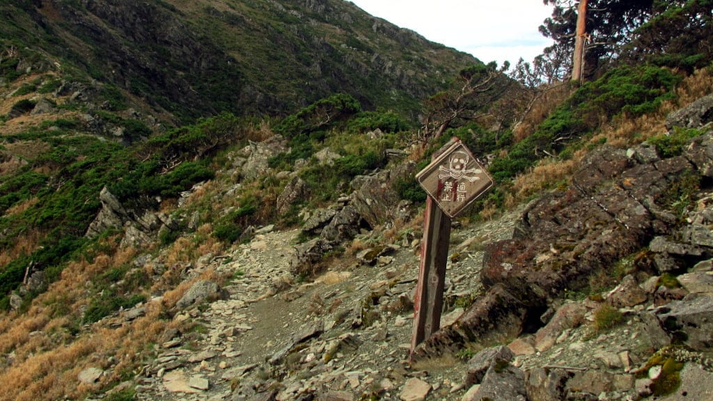
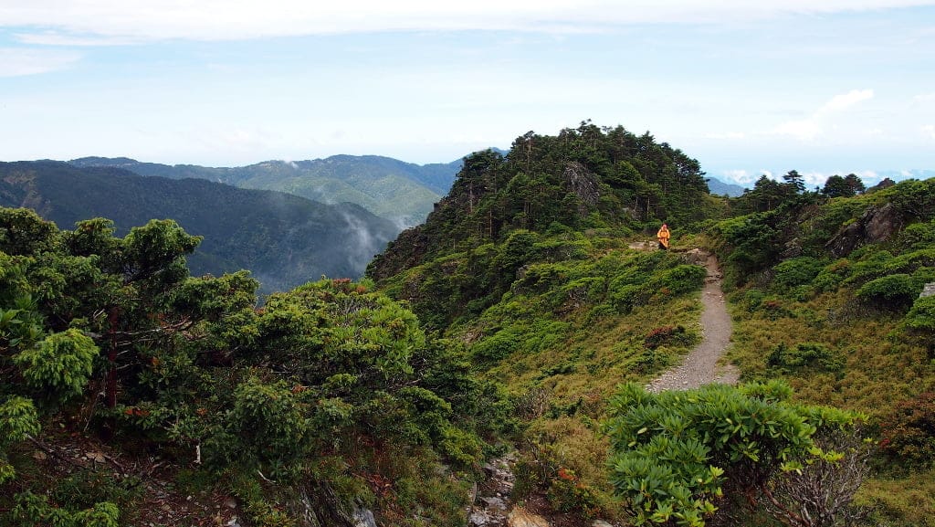
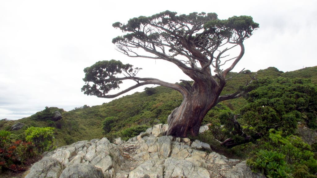
One memorable landmark on our ascent was the iconic Xiangyang Tree (向陽名樹), one of the last trees we passed on the way up. This striking tree is a popular photo spot, so much so that it has its own Google Maps marker and even a dedicated Wikipedia page.
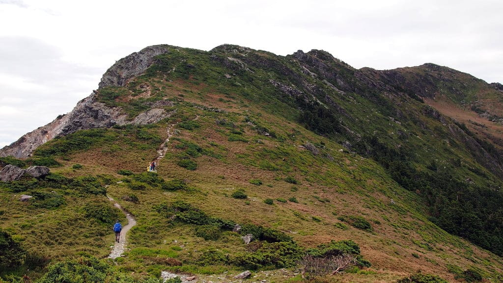
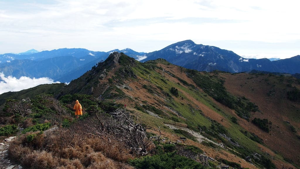
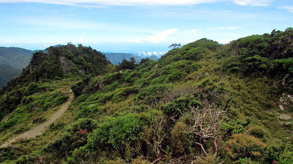
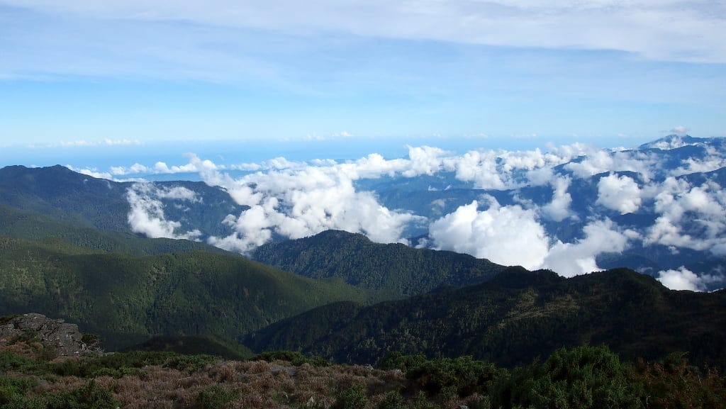
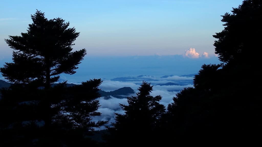
From higher elevations, we were treated to a spectacular view of the Pacific Ocean—a sight I hadn’t anticipated. Seeing beyond the Coastal Range was, for me, the highlight of the entire hike. The visibility that day was extraordinary, making the experience even more magical.
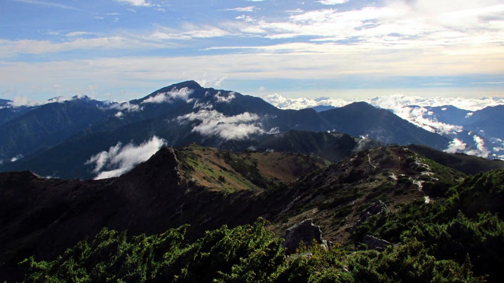
After summiting Mount Xiangyang, we descended to the Jiaming Lake Shelter, where we spent the night. To my surprise, the dinner there was quite elaborate, with food, dishes, and cooking utensils carried up to the cabin by local indigenous porters. However, my joy was short-lived as I began to feel the effects of acute mountain sickness, a sobering end to an otherwise exhilarating day.
In the next part, I’ll share how I coped with the night at high altitude and whether we succeeded in reaching the enchanting Jiaming Lake.
Enjoyed this article? You can get early access to my maps, blog posts, and exclusive content by becoming a supporter on Ko-fi. I also share updates and insights on Facebook, post photography and snapshots on Instagram (@eyes_on_taiwan), and showcase maps and Taiwan data on Instagram (@taiwan.maps.dataviz). You’ll also find me on Threads and Bluesky, where I share new maps and links to blog articles. Looking forward to connecting with you!
If you like this content and don’t want to miss new blog posts, consider subscribing to our newsletter!

