diesen Artikel auf Deutsch lesen 🇩🇪
The Shiquiling Fort is located in the south of Keelung. It sits on top of the mountain just above the Freeway 1 tunnel. It had an important role in defending Keelung and the harbor, as well as safeguarding the roads to Badu and Tamsui. The fort was constructed during the Sino-French War between 1884 and 1885 and the choice of the location was excellent. Not only offered this location a clear view over the city and the harbor, it was also relatively easy to defend from attacks of the French troops. But what made this fort so horrible for the French troops was its psychological impact. Because the fort was not visible from the sea or the city, artillery fire from the fort appeared to come out of nowhere. This drove the French soldiers crazy.

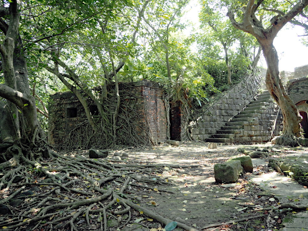
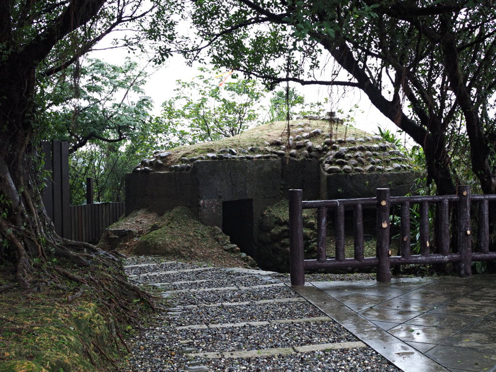
Originally the fort was spread out along the mountain range. But today only one artillery site remains. Apparently other smaller parts of the fort can be still found in the mountains.
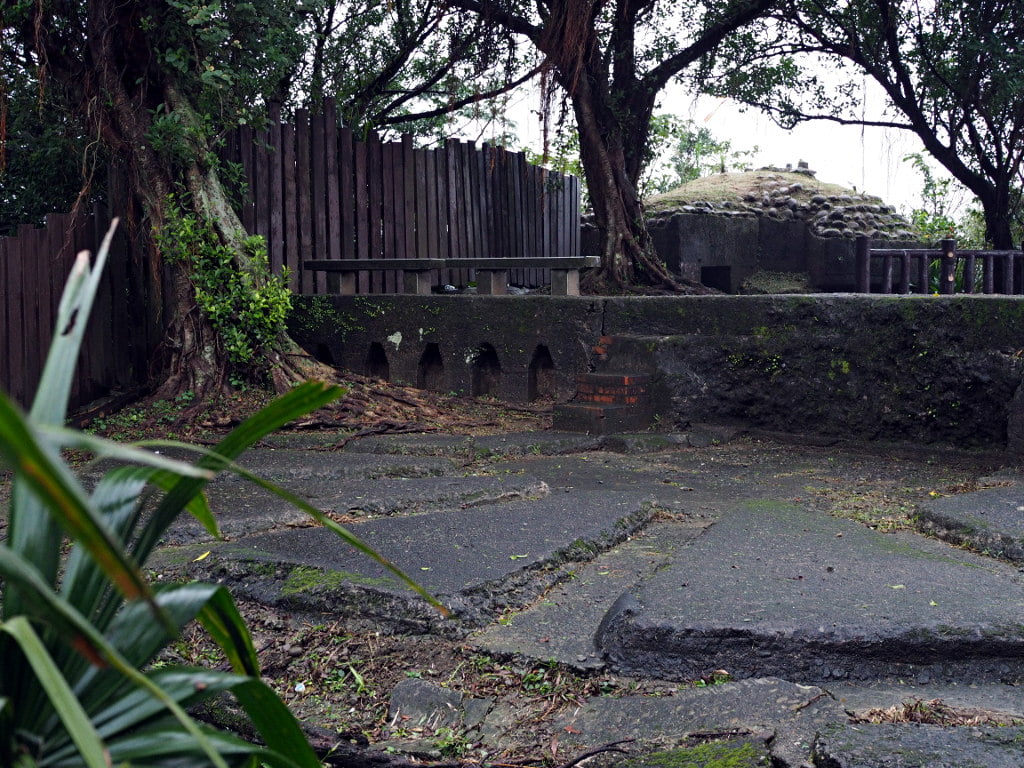
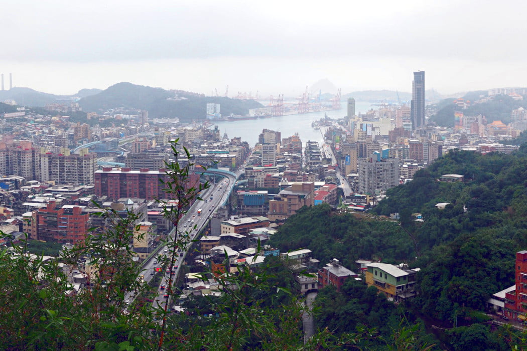
The fort, or it’s remains, are very small as compared to Ershawan Fort or Dawulun Fort. On the other hand, Shiquiling Fort offers probably the best view over Keelung in the north and Taipei in the south. A visit to the fort can be combined with a nice hike with interesting things to see on the way. The entire area of the fort welcomes the visitor for extended hikes and exploration of the mountain range.
Unfortunately I went there during a rainy day. The conditions were good for hiking but not for photographing. Therefore the photos turned out grayish this time.
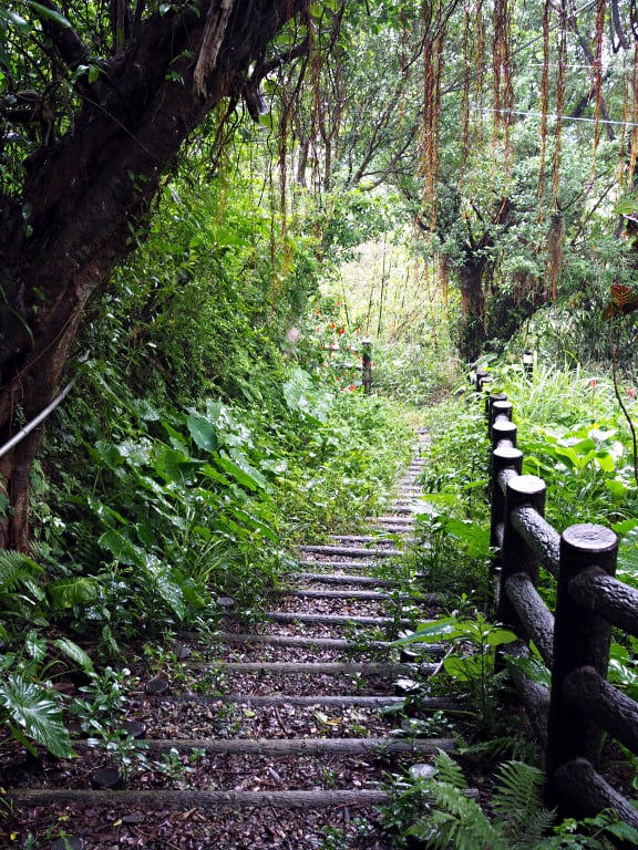
Getting there and what else to see
Getting to the fort is not straightforward because there are almost no signs showing the way. Here I describe the way from the western site. There are probably alternative ways to reach the fort. Especially from the eastern site there should be other trails.
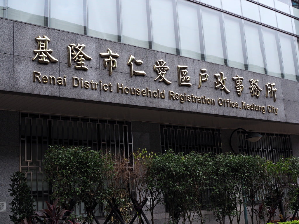
I parked at the Keelung City Ren-ai District Office (仁愛區公所), which is also easy to find for the car GPS system.
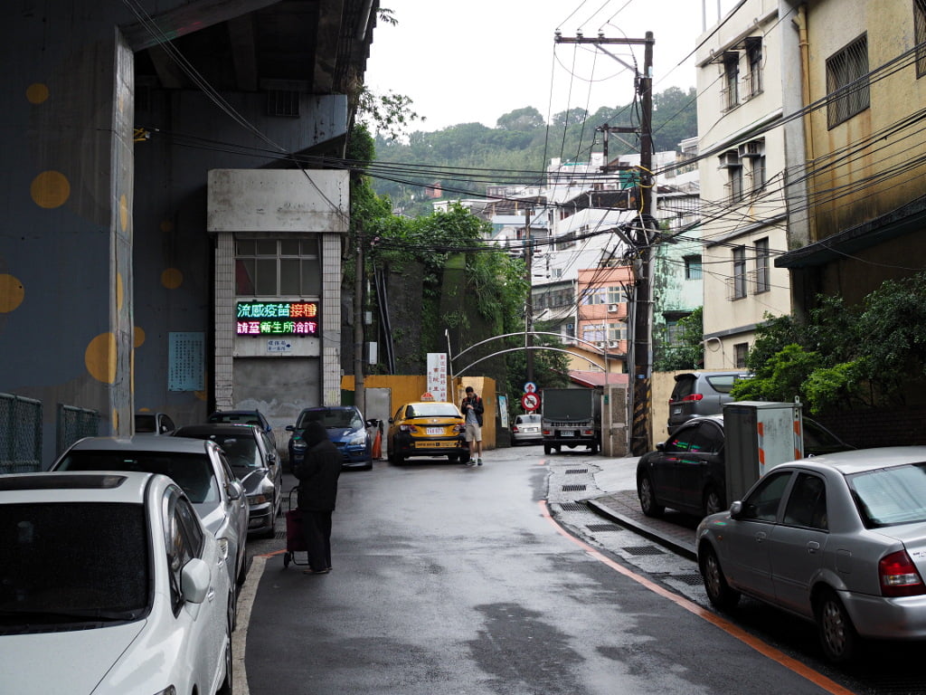
From there you walk parallel to Freeway 1 in southern direction to the trail entrance. The entrance is at the metal gate next to the yellow wall.
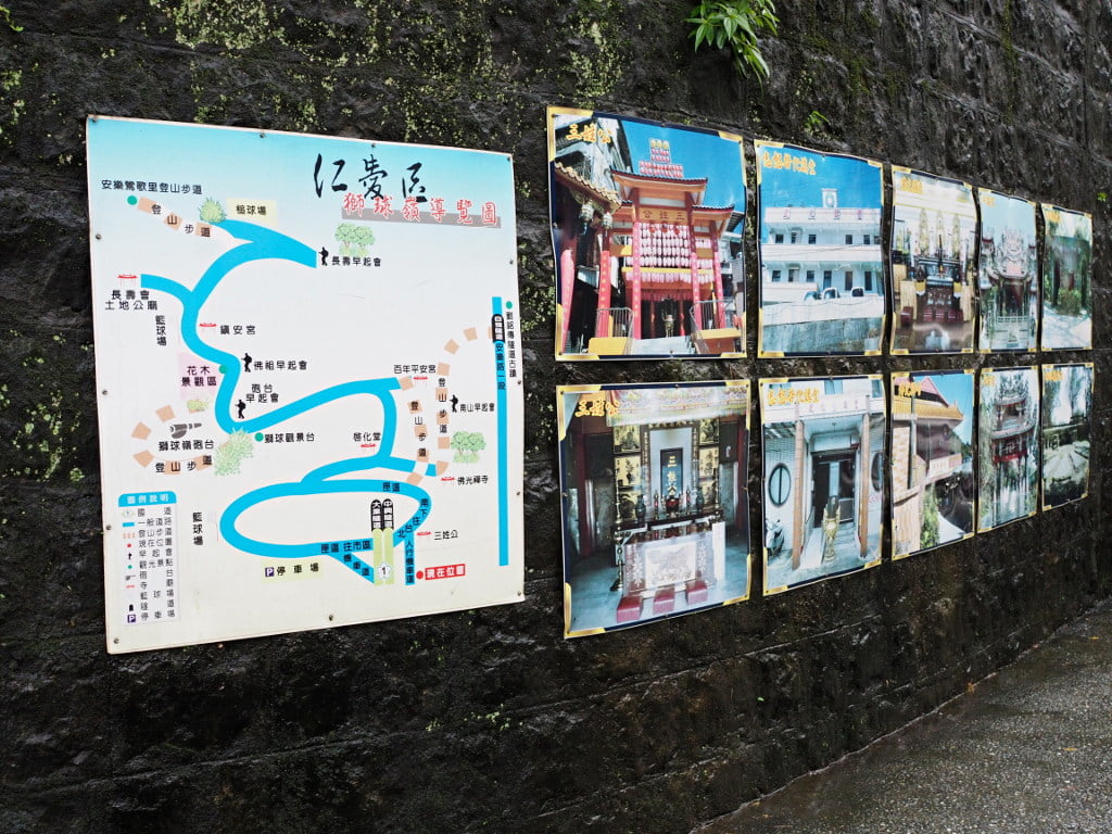
At the entrance you can find a schematic map showing the way to the fort, as well as some photographs of temples in this area. There are also photographs of the fort.
From the entrance you walk uphill, always parallel to Freeway 1.
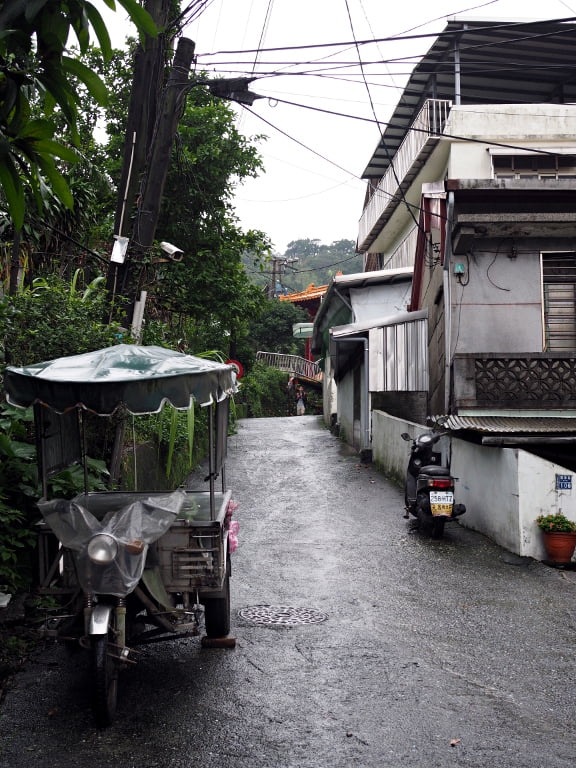
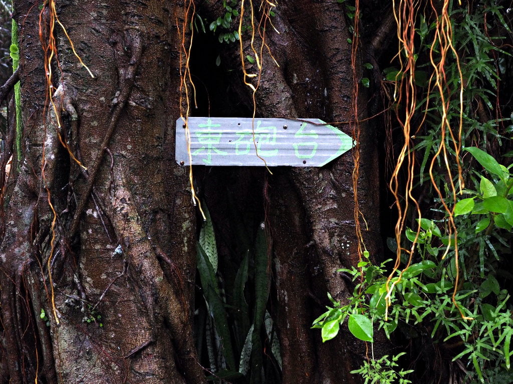
After about 200 meters you will reach the first temple. There are also signs showing the direction to the fort.
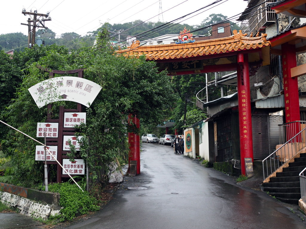
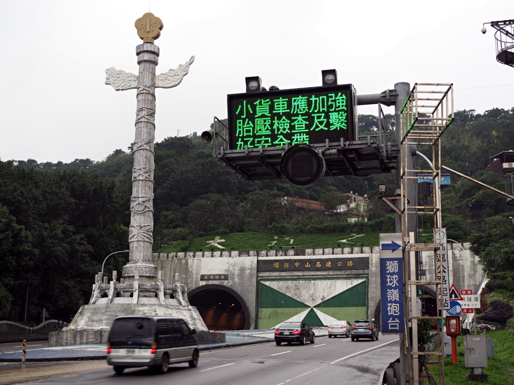
In case you want to drive closer to the trail entrance, there is an exit on Freeway 1. It is in front of the tunnel entrance where Freeway 1 officially starts. The exit is not an official freeway exit, so there is no sign. You need to keep your eyes open and leave the freeway at the right moment. From here you could drive the car to a parking lot next to Ping-An Temple (平安宮) and walk the rest to the fort.
But we continue walking. After passing the temple gate, there is a small lane at the right side. At the end of this lane you can find stairs, which are a short cut to the temple. You can also follow the road, but it would take longer.
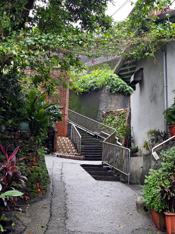
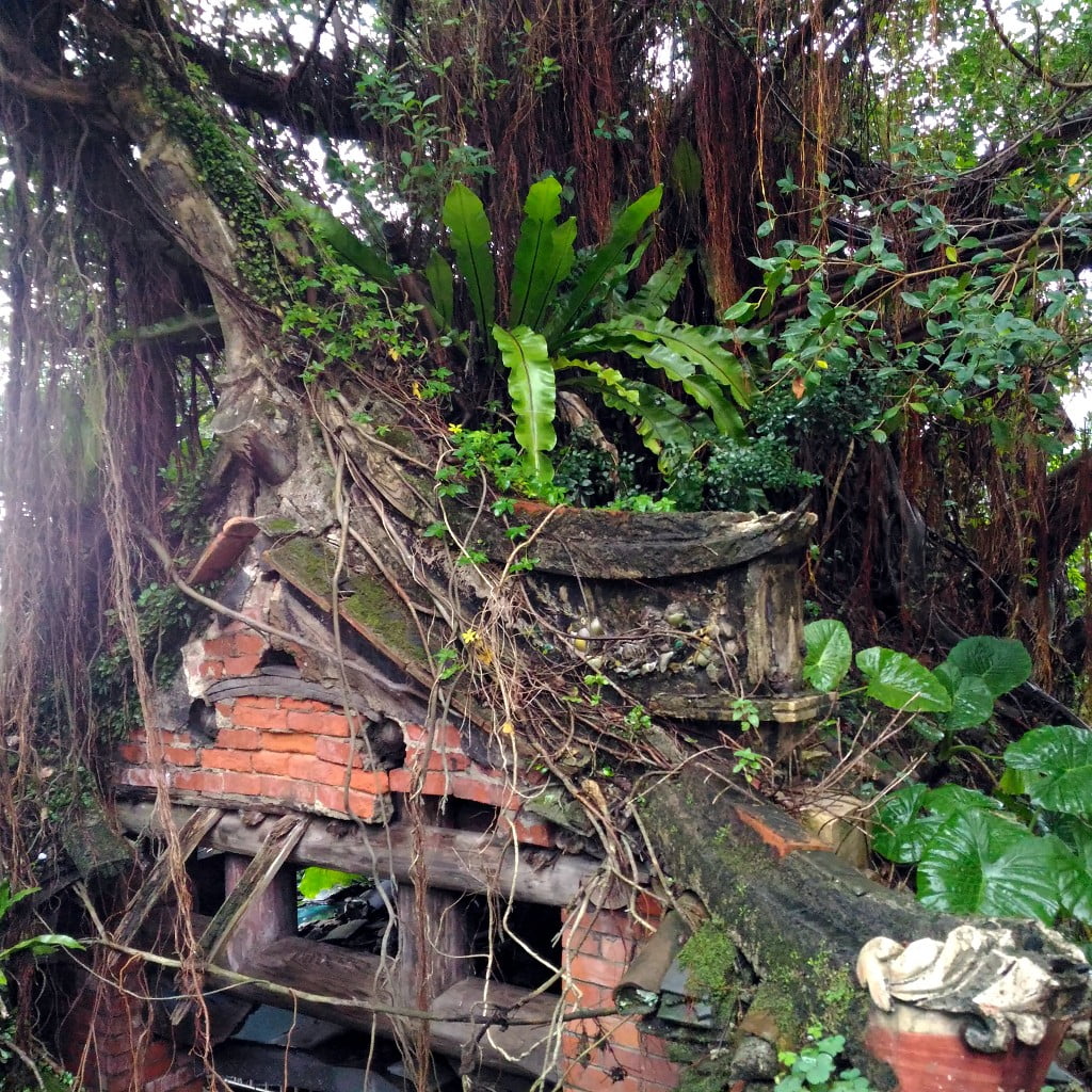
At the end of the stairs you will see this old shrine (hopefully it is still there when reading this) …
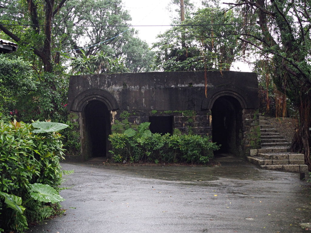
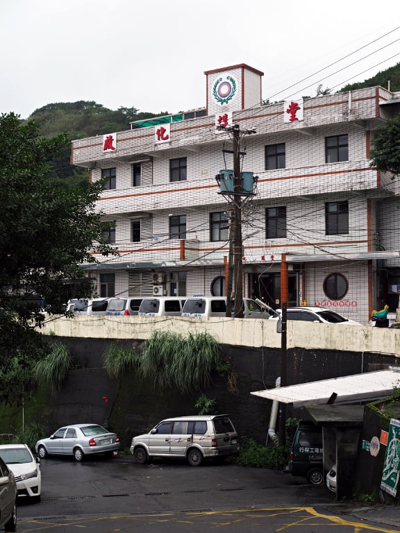
…and this characteristic building.
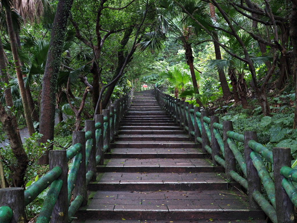
Keep right and continue uphill on these stairs.
At the top of the stairs you will see on the right side Ping-An Temple (平安宮), which is worth a visit. And on the left side …
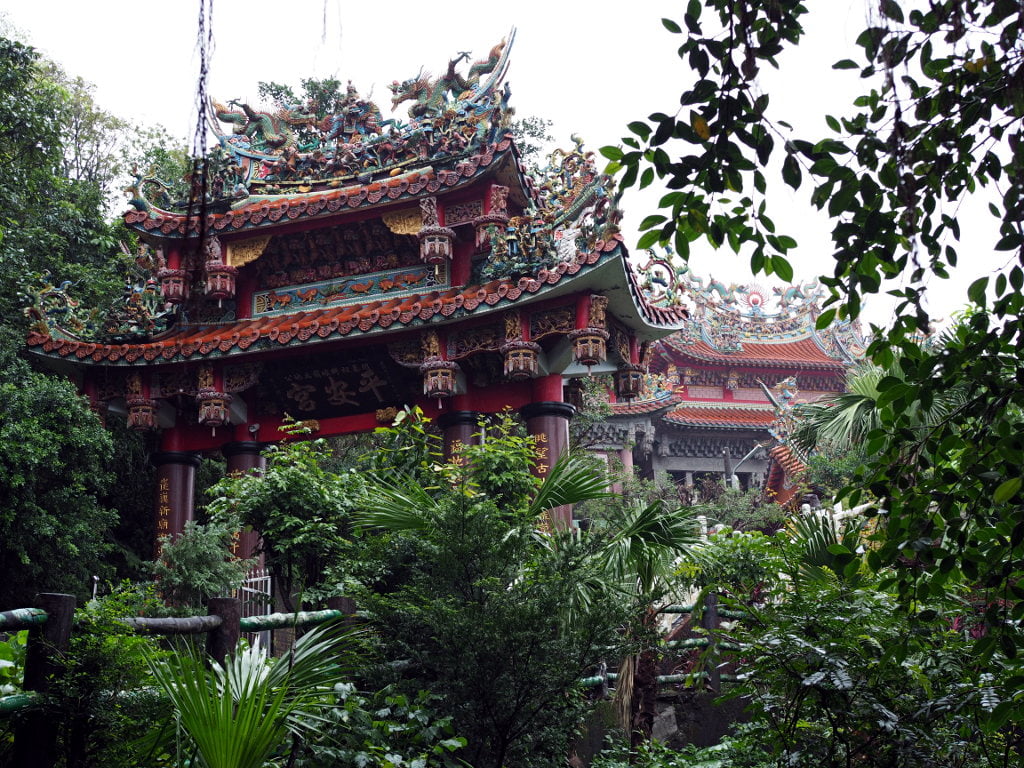
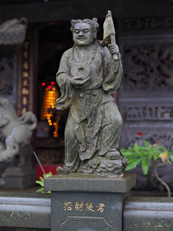
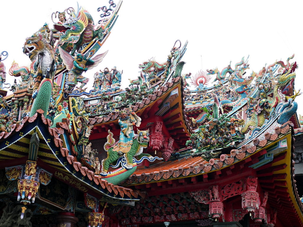
… is this iron gate.

Pass through the gate and continue uphill. After 400 m you will reach the fort.
Here is a link to Google Maps that shows the directions to the fort.
