diesen Artikel auf Deutsch lesen 🇩🇪
The Sheliao East Fort is located in the eastern part of Heping Island (和平島), which is also known as Peace Island. The fort is relatively small and well hidden. It was constructed in 1904 by the Japanese to protect the eastern part of the harbor during the Russo-Japanese War (1904-1905). After the handover of Taiwan to the Republic of China, a searchlight unit was stationed here. Unfortunately I was not able to find more information about this fort. Even when searching with the Chinese name, I could not find much information.


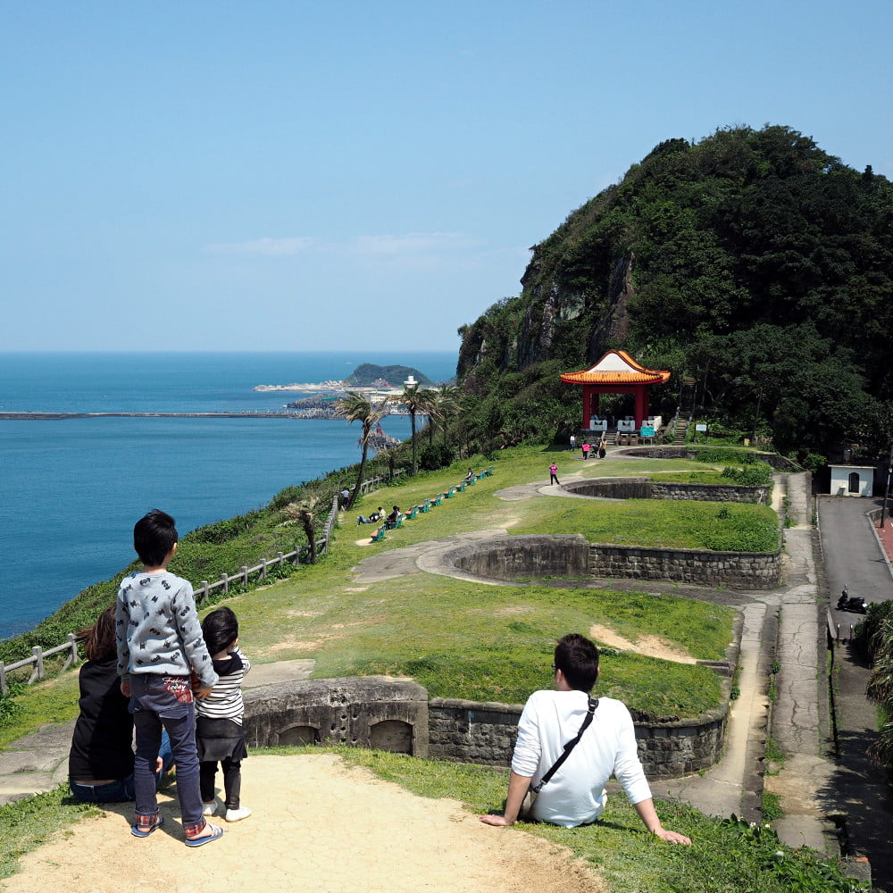
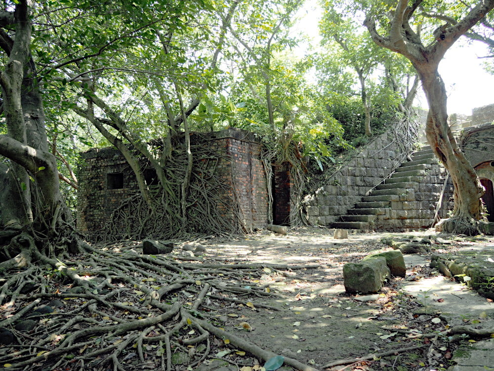
Today only remains of the artillery site, ammunition depot, guard tower, and parts of the wall are visible. In the valley the old barracks can be seen.

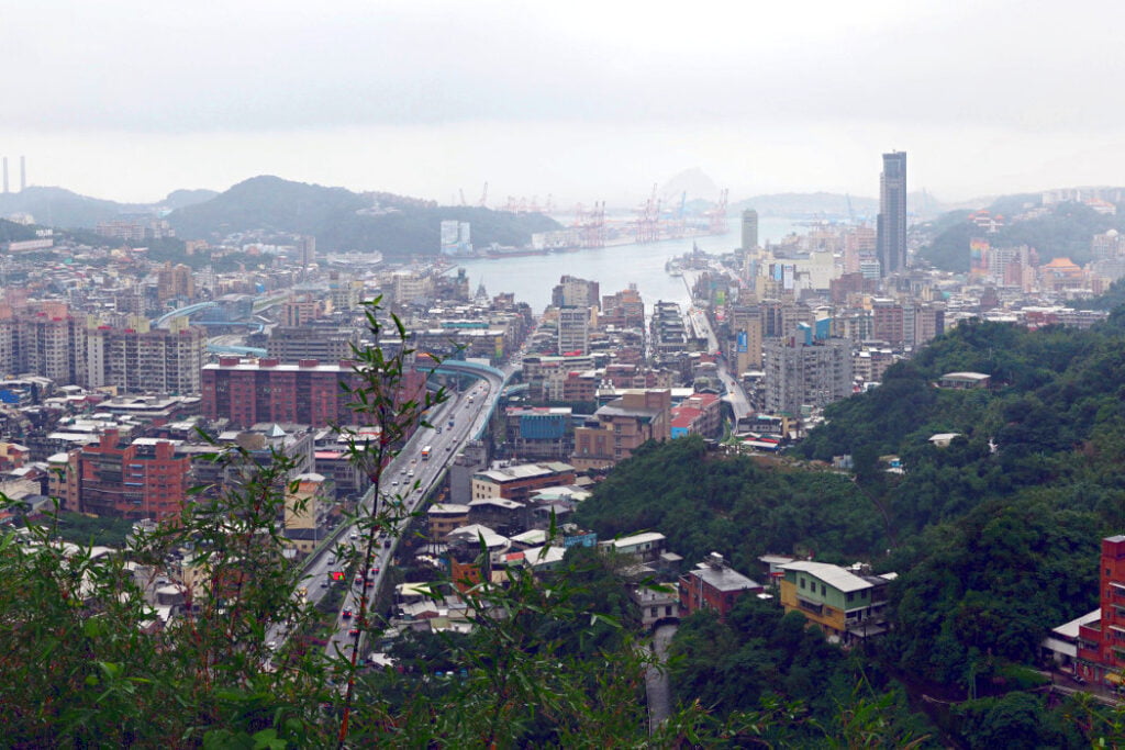
From the six forts which I have visited in Keelung, this one here was the most intriguing to me. It is remote and overgrown. Visiting the fort feels a bit like being Indiana Jones and searching a treasure in the jungle. Moreover, this fort offers a fantastic view on Heping Island and the north coast up to Yehliu. Unfortunately, due to the dense vegetation it is not possible to see Keelung City and the harbor.


How to reach Sheliao East Fort
The easiest way is by car or scooter. Parking is available in Heyi Road Lane 2 (和一路2巷). Bus lines 101 and 102 stop at A La Bao Wan (阿拉寶灣), which is the closest bus stop to the fort and next to the parking lot. However, bevor taking the bus, please double check the current bus routes and time tables.
From the parking lot follow a small road into the island. After 200 m a sign shows the direction to the fort. At the sign take the road to the right and walk uphill. You will cross a small settlement made up of old houses and shacks. It might feel wrong but after passing the settlement you arrive at a clearing, where you can see the old barracks and signs about the fort. From there you can take a steep stairway to the top of the fort.
Click here to see the location and directions to the fort in Google Maps.