diesen Artikel auf Deutsch lesen 🇩🇪
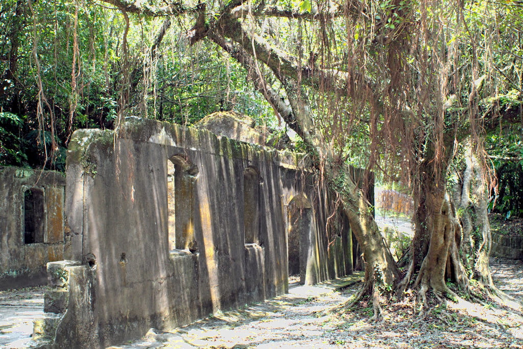
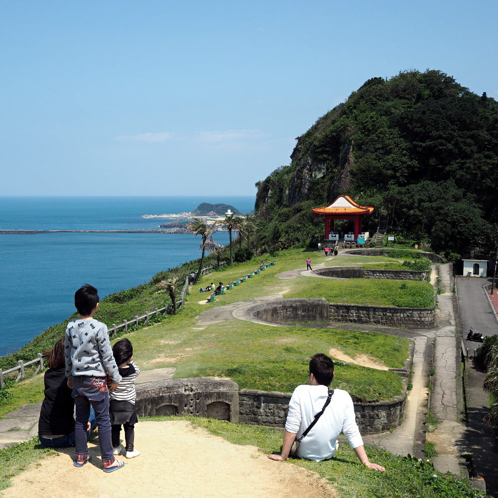
The Dawulun Fort is located west of Keelung city at the border of Anle District (安樂區) and Zhongshan District (中山區). It was constructed in 1840 during the First Opium War (1839-1842) to protect the western side of Keelung harbor. During the Sino-French War 1884 the fort blocked the movement of French troops from Keelung to the south. During the Japanese colonial period the fort was an important military site and the Japanese expanded the fort. In the year 1938 it lost its military importance and was abandoned. After World War II the fort was used by the R.O.C. army until 1985. Since 1989 Dawulun Fort is recognized as historical monument and open to the public.


Like Ershawan Fort, Dawulun Fort is larg and many buildings are still preserved. From the fort you can enjoy a fantastic view over the north coast.


Getting to the Dawulun Fort
Dawulun Fort can be reached by car or scooter driving on Jijin 1st Road, Lane 208 (基金一路208巷). Simply follow the signs to Lovers Lake Park (情人湖公園). After reaching the park, the road makes a sharp right turn. Follow the road for about 1.2 km to reach the entrance of the fort. A small parking lot can be found 100 meter away from the entrance.
Unfortunately there is no public transport going to the fort. The closest bus stop is at the Chang Gung Memorial Hospital. From there you need to walk all the way uphill.
It is also possible to take the Haixing hiking trail (海興步道) from the coast to the Lovers Lake Park and from there to Dawulun Fort.
Click here to see directions in Google Maps.


